Geospatial systems, maps, and analysis

Maps and spatial data that hold up under scrutiny.

Apogee Geospatial builds maps, spatial databases, and decision-ready GIS. PostGIS-backed data, QGIS delivery, and print and web map production.

CFB hometown heat · Virginia Tech signing-class commits by county
Basemap © Esri, DeLorme, NAVTEQ · Labels © Esri · CFBD
Mortgage rates map · HMDA median rate by state
Basemap © Esri, DeLorme, NAVTEQ · Labels © Esri · HMDA
Virginia broadband gaps · share underserved by county
Powered by Esri · Esri, HERE, Garmin, © OpenStreetMap contributors · FCC BDC · Census
Farm Field Explorer · fields by crop, Eastern Shore
Basemap: Esri, HERE, Garmin, © OpenStreetMap contributors · Fields: USDA NASS CSB / CDL
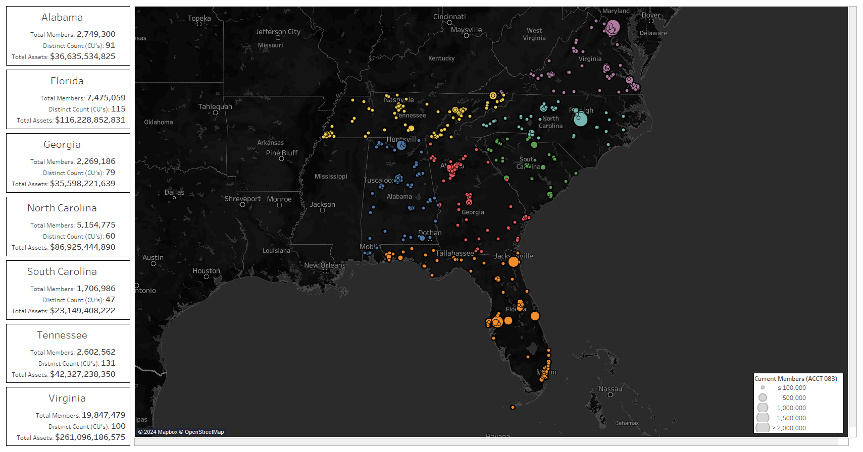
U.S. Credit Union Atlas · branches from NCUA Call Report 2026Q1
Basemap © Esri, DeLorme, NAVTEQ · Labels © Esri · NCUA
CFB hometown heat · Virginia Tech commits by county
Basemap © Esri, DeLorme, NAVTEQ · Labels © Esri · CFBD

What we build

Four things we do repeatedly, and do well.

Spatial databases

PostGIS schemas built to hold your data properly — geocoded records, assets, parcels, networks and service areas — queryable and ready to map.

Map production

Print-ready GeoPDF and web maps. Excel or KMZ in, publication-grade cartography out.

GIS analysis

Network and market mapping, thematic maps from geocoded service data, and demographic studies.

Delivery & analysis

QGIS projects, clean data, and maps your team can reopen.

Method

  • QGIS and PostGIS as the working core — repeatable layouts, the same views every time.
  • Public, authoritative sources: USGS 3DEP, NLCD, PAD-US, Census.
  • Project-native CRS and consistent context framing, so maps compare cleanly.
  • Everything hands back as files your team can open and re-run.

Selected work types

Representative kinds of work we deliver.

  • Network and market mapping: coverage and service areas from geocoded records
  • Map production: Excel and KMZ in, print and web maps out
  • Custom spatial databases
  • Data cleanup and standardization

Also: a print-ready sample PDF map and a county attribute table (public Census). Credits for each basemap and dataset are on the thumbnail and inside each map.
Suggest a map

Got a place or a public dataset you'd like to see mapped? Tell us in a sentence or two.

One idea is picked each month to build free, and credited to whoever suggested it.

Email is optional and only used to tell you if yours is picked.

Only used to tell you if your idea is picked.

Interactive atlas · public Census / BLS / FAA data · · click map to scroll-zoom

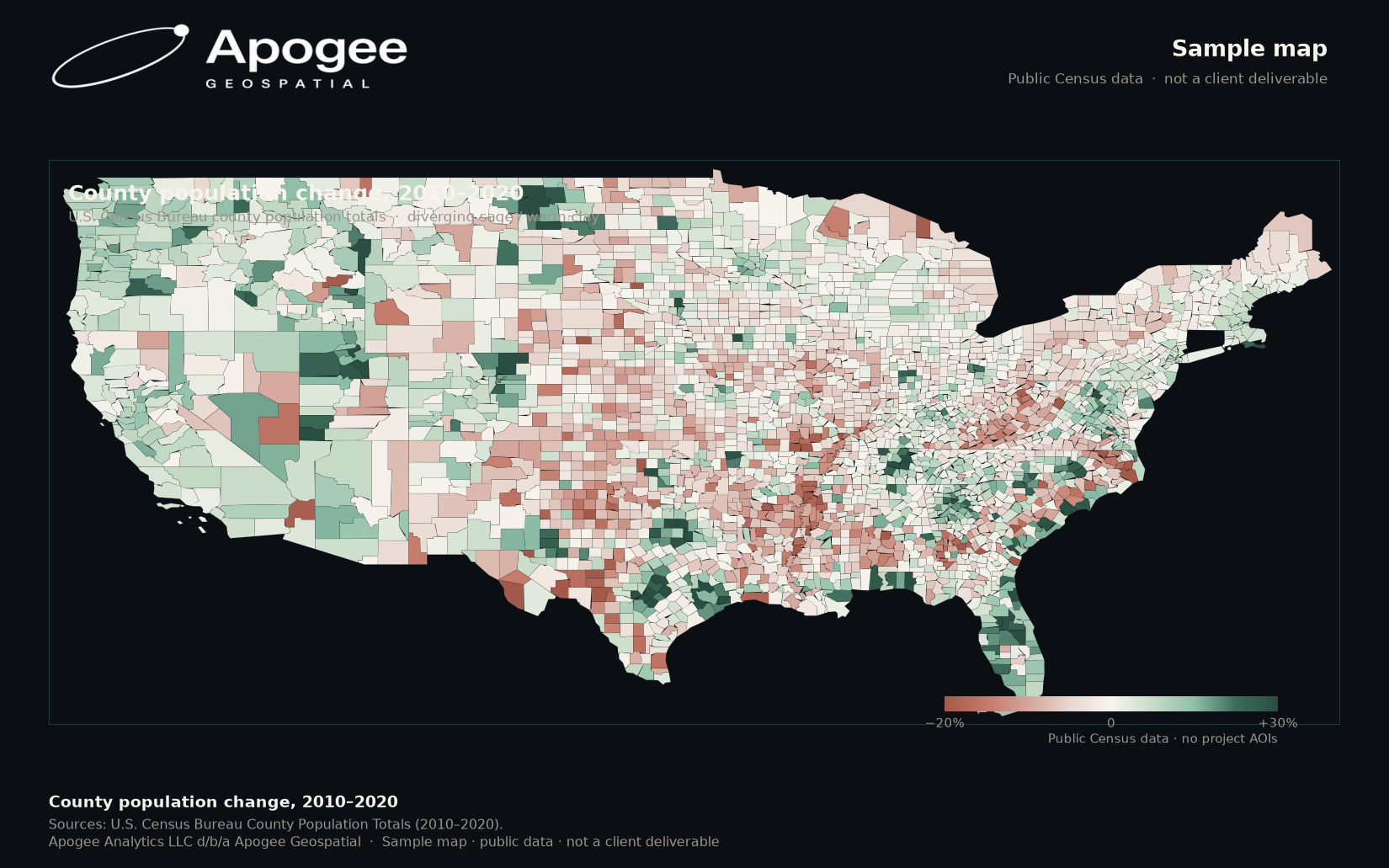
Sample map

Sample map

Print-ready PDF map · public Census

Open PDF map


U.S. credit union atlas preview
Credit union atlas
NCUA Call Report 2026Q1 · Census geography · interactive branch map

Open credit union atlas

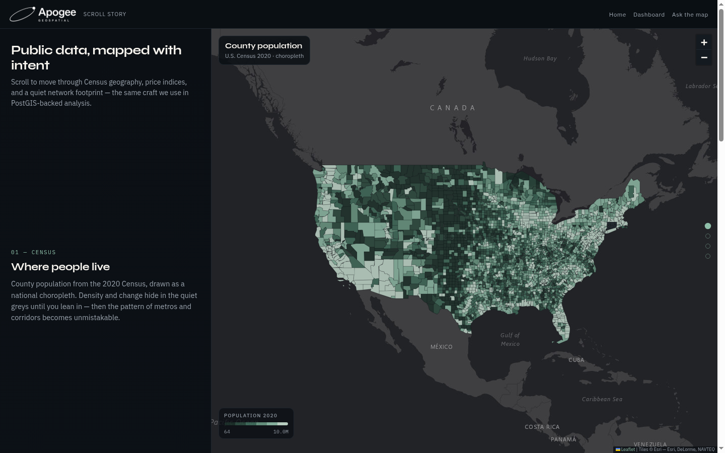
Scroll story map preview
Scroll story map
Census choropleth · CPI by state · network footprint — scroll-linked layers
Open scroll story
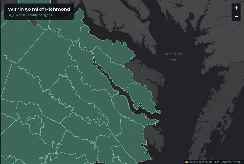
Spatial SQL map preview
Ask the map
PostGIS-style queries · buffers, joins, distance — run live on the map
Open spatial SQL

Open attribute table

3,100+ counties · 26 attributes · public Census

}

Also in the shop

  • Large-format reference and exhibit maps
  • Demographic and thematic mapping
  • Survey control and coordinate system work (NAD83)
  • Drone mapping support

Expanding into geospatial surveying and drone mapping — coming online now.

About

Apogee Geospatial is a U.S. practice (Apogee Analytics, LLC — Virginia) focused on maps, spatial databases, and decision-ready GIS. Principal-led, QGIS-native, delivery-obsessed.

Request a project

Tell us what you need mapped or analyzed — PostGIS, map production, GIS analysis, or something adjacent. A rough area of interest or state and your timeline help. Quotes come after we see the scope. Use the contact form — short note is fine.

Apogee Geospatial is the geospatial practice of Apogee Analytics, LLC. Virginia, USA.